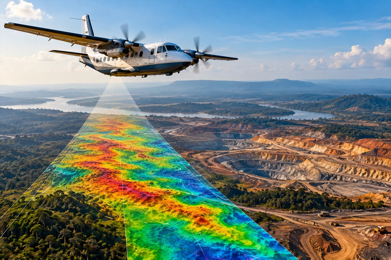
Kinshasa launched, on Monday 5 October, the Airborne Geophysical and Geological Mapping Program of the RDC (PC2G-RDC), under the high patronage of President Félix-Antoine Tshisekedi Tshilombo, according to the press release issued following the ceremony. The objective is to provide the Congolese state with a more precise understanding of its subsoil to better direct exploration and, ultimately, to strengthen its capacity to control and monetize its mineral resources.
The Democratic Republic of the Congo is the world's leading producer of cobalt and the world's second-largest supplier of copper. Yet, the country has systematically explored only about 20% of its territory, according to the Geological Survey of the Congo (SGNC), cited by Reuters.
The new campaign is intended to fill part of this geological knowledge gap. The program will span 36 months and mobilize eight aircraft tasked with collecting magnetic, radiometric, gravimetric, and electromagnetic data, the statement specifies.
Operations will progressively cover the Kongo Central, Kwango, Kwilu, Grand Kasaï, and Grand Katanga regions, totaling more than 700 000 square kilometers. In total, more than 2,7 million line kilometers of flight are scheduled, with flight lines spaced approximately 250 meters apart.
Airborne surveys will be supplemented by ground operations including mapping, geochemical sampling, and technical validation. The initiative is expected to facilitate the creation of a more comprehensive and accurate geological database, aimed at reducing the uncertainty that still surrounds part of the Congolese mineral potential.
Technical coordination of the program is handled by the SGNC, while its funding is provided by the Mining Fund for Future Generations (FOMIN). Execution of the work has been entrusted to the Spanish company Xcalibur Multiphysics Group.
Data the State intends to retain. Beyond data collection, the challenge for Kinshasa lies primarily in its control.
All information gathered will be integrated into a digital platform leveraging artificial intelligence to produce geological models and prospectivity maps. The Congolese State will retain full ownership to utilize it for guiding mining planning, certifying resources, and strengthening its position in negotiations with operators.
Access to this data will be tiered, reports Reuters. Basic information will remain freely accessible, while data deemed more sensitive will be commercialized.
Access requests will be reviewed based on investor needs, but also on the necessity to preserve the strategic interests of the RDC. For the Director General of the SGNC, Raoul Wazenga Vitima, this data constitutes "a strategic asset of the Congolese State."
A portion of the revenue derived from the commercialization of certain products is expected to contribute to the financing of new exploration operations, although the projected tariffs have not yet been specified. The database is expected to be fully operational by the end of 2026.
The Minister of Mines, Louis Watum Kabamba, presented this campaign as an investment in the country's future. During the launch, he stated: "We are investing in knowledge today to reduce the cost, risk, and time required for exploration tomorrow."
According to him, this knowledge should allow the state to better understand its heritage, investors to better assess opportunities, and the Congolese people to better prepare for the development of their resources. An ambition summarized by the phrase: "better knowledge for better decision-making, better exploration for better value creation, better development for greater value and job creation."
Claude Paul Tjeg. Published on 06/10/26 13:35.
The Editorial Staff